
The villages of Maratea
How many Maratea ? - the Map
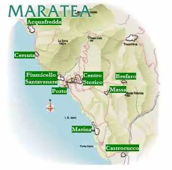
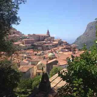
The city of Maratea is composed of numerous hamlets: a satellite system of villages (fractions) that revolve around the original urban core of Maratea Centro called the Historic Center (formerly known as "THE VILLAGE") located on the southern side of the valley, at an altitude of 310 meters above sea level, at the foot of Mount San Biagio.
The municipal area borders not only with the Tyrrhenian Sea, but also with the territories of the municipalities of Sapri (Salerno, Campania), Tortora (Cosenza, Calabria), Rivello and Trecchina (Potenza, Basilicata).
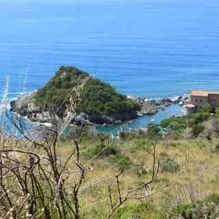
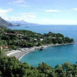
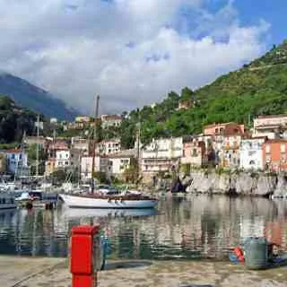
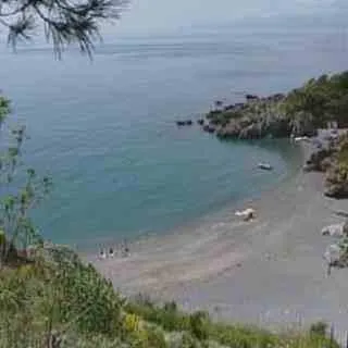
Along the coast, from north to south, the fractions are respectively Acquafredda, Cersuta, Fiumicello-Santa Venera, Porto, Marina di Maratea and Castrocucco.
In the inland area, to the east of Mount San Biagio, are the fractions of Massa, Brèfaro and Santa Caterina (Castle); to the west of the same mountain, Curzo and Campo.
There are so many, and not just one Maratea: this is the Fascination of Maratea.
The website www.maratea.info is updated by the volunteers of ALTRITURISMI.it
MAKE A DONATION
- To stay updated on the activities of AltriTurismi ETS -> Subscribe to the newsletter